Teaching Map Skills
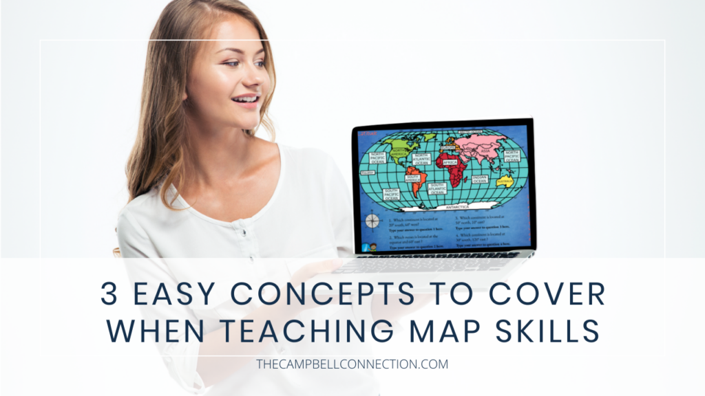
Teaching map skills in late elementary is always an engaging topic for students. STUDENTS. LOVE. MAPS. Have you ever pulled up Google Earth for your class? Students always clamor to have you look up where they live, or a far-off place they’ve never been.
Although students love to interact with maps, teaching map skills and the importance of those skills is your challenge (don’t worry I’ll help you with this!). Are these skills obsolete in a world of GPS and instant directions delivered on your phone and given step by step in real time?
Nope! Students still need these skills! So here are the 3 skills you should cover when teaching map skills to 3rd-5th graders. Onward!
1. Teaching Map Skills with Cardinal Directions
How did you learn the cardinal directions? Never Eat Slimy Worms? Never Eat Shredded Wheat? Whichever way you teach it, students always have fun with a silly saying to go with the cardinal directions. There are also tons of Youtube videos with fun songs! This video is great, a little silly but they will remember, and that’s the whole point!
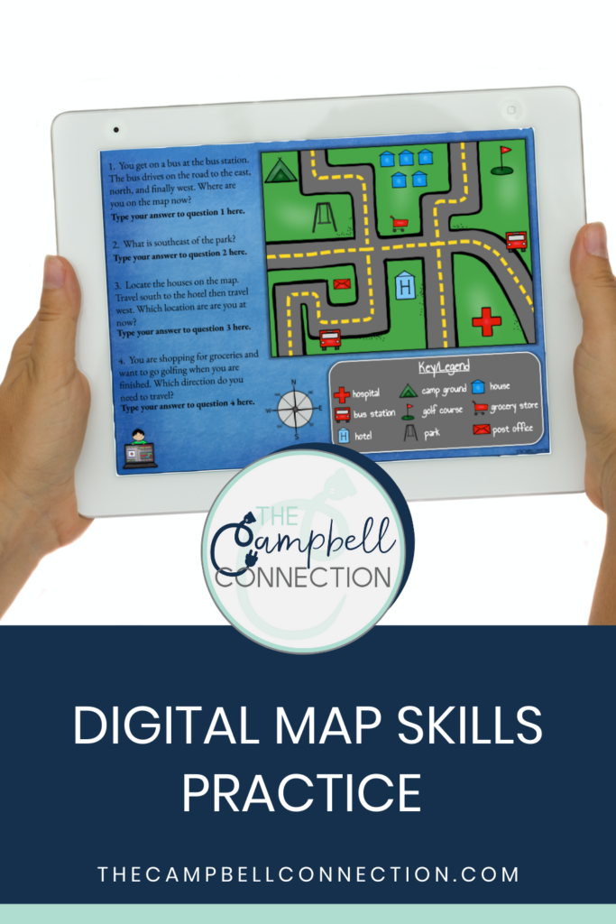
After they know the cardinal directions, you can introduce the compass rose and legend (or key). Depending on your standards for teaching map skills you may also want to introduce the intermediate directions as well.
The key to students using their skills is tons of time to practice with plenty of examples. For example, I like to use my Cardinal Directions and Compass Rose activity for Google Classroom. This colorful virtual option is easy to assign, grade and you won’t have to stand in line at the copy machine! This activity includes practice with cardinal directions, intermediate directions, using a compass rose, and using a legend.
Here are some great hands-on activities for teaching map skills.
2. Longitude and Latitude
When you teach longitude and latitude, you are introducing your students not only to the world but the scale of it! Students can compare the size of continents and see where places are in relation to where they live.
This skill may seem unnecessary to students who love the instant map on their phone so emphasizing the fact that longitude and latitude are the way we find exact locations on Earth. You can also teach them about jobs that depend on longitude and latitudes like a cartographer, pilots, ship navigators, and even GPS coders.
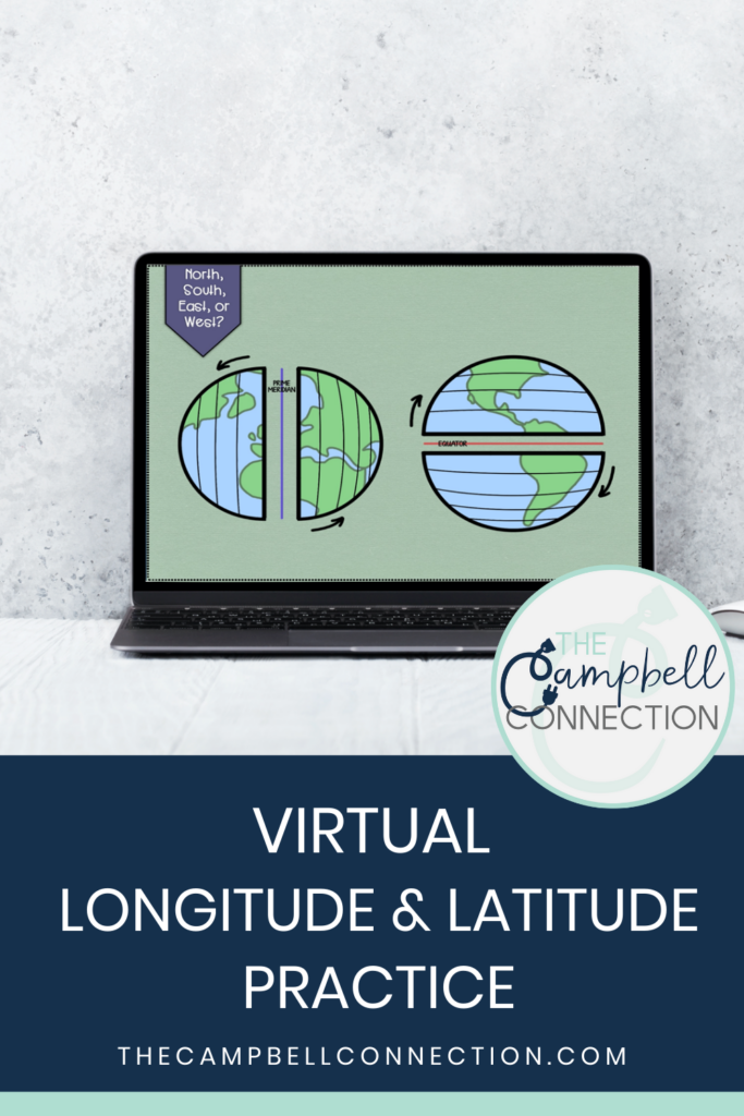
My favorite way to have students practice is with this Latitude and Longitude Virtual Activity for Google Classroom. This activity covers the prime meridian, equator, northern, southern, eastern, and western hemispheres, and longitude and latitude coordinates. It has movable pieces to keep students engaged!
3. Map Grids
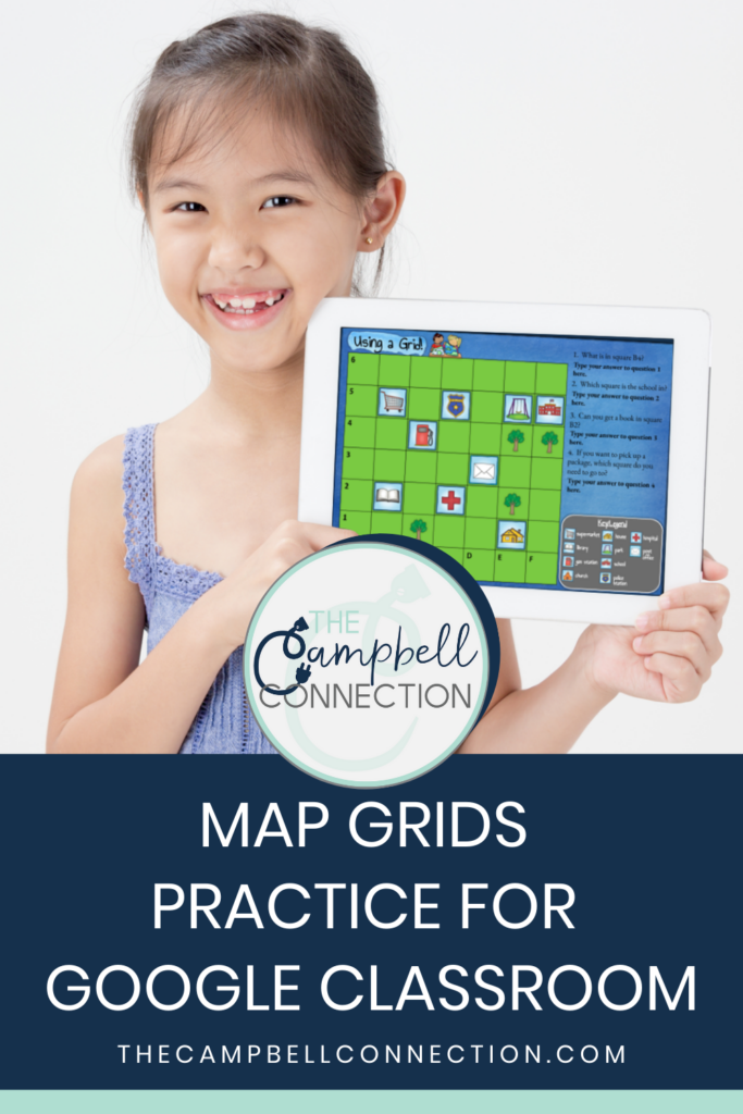
Map grids are a great way for your students to experience how a map works with lines and directions. Students will be able to see patterns and grow their spatial thinking (which is one of the most important skills students gain when learning map skills).
When you use a colorful and interactive map grid activity like this Map Grid Geography Activity for Google Classroom students get to practice the skills you’ve taught them and deepen their understanding.
Pro tip: Don’t use black and white worksheets when you teach mapping skills. It’s boring to look at and doesn’t give a realistic view of the geography of the earth.
Now that you have the 3 concepts to cover when teaching map skills, it’s time to get your materials prepared…whomp whomp. BUT I told you I’d help you out with materials (it’s one of my favorite things!) so here is the bundle of digital mapping skill practice you can download, assign (it will literally take you a few minutes) and you are ready! You’re welcome!
P.S. Check out my exclusive monthly freebies! Every month I send out free monthly Google Slides Templates! Sign up, and I’ll put you on my email list. Watch your inbox for new templates headed your way soon!

