Upper Elementary Map Skills
Did you grow up watching Where in the World is Carmen Sandiego? She’s known for alluding ACME and hiding in her famous red hat and trench around the world. What a wonderfully mysterious life she led. Also, the show had a catchy tune, am I right?
What does Carmen Sandiego have to do with map skills? Netflix recently released an updated animated show about Carmen, and although it has more to do with geography, it’s a great way to hook your students into learning about maps.
Students need a hook into the topic because they see maps as old school. Why would they need a map if they have the internet? Maps are everywhere. The mall, the zoo, even video games have maps to help players navigate the virtual world. It’s an essential skill for students to develop spatial awareness and understanding of symbols. Students need to know about maps!
Today, I’m sharing 5 ways for students to practice their map skills effectively. Let’s get started!
Interactive Virtual Map Skills Activities
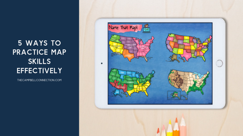
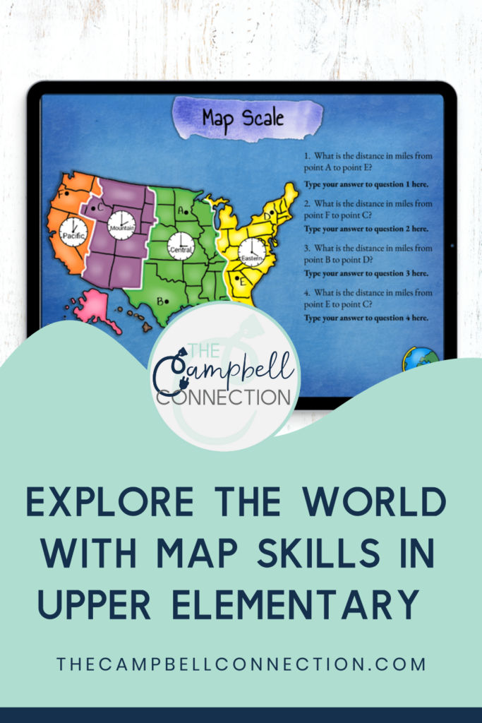
Yes, you can use printable worksheets to have students practice map skills. And there is a time and a place for that, but I’m a tech nerd, so it’s all about interactive virtual map activities. They provide students with colorful, detailed maps, and they can practice their skills with easy drag and drop interactions.
One of the best activities I’ve designed is when students get the opportunity to build their own map! Talk about a high-interest, total engagement activity!
Free Exploration Time
Google Earth is an excellent resource for students to play around with. Allowing students to engage with the fantastic technology without a structured activity encourages their exploration and increases their curiosity to learn more about the world.
For free exploration time, Google Earth is a great option because it has the flexibility to zoom in and out and is user-friendly. For example, students always look for their homes first, then begin to zoom out. As a result, students understand their location and how it correlates to the rest of the world.
Practice Map Skills with Interactive Grid Maps
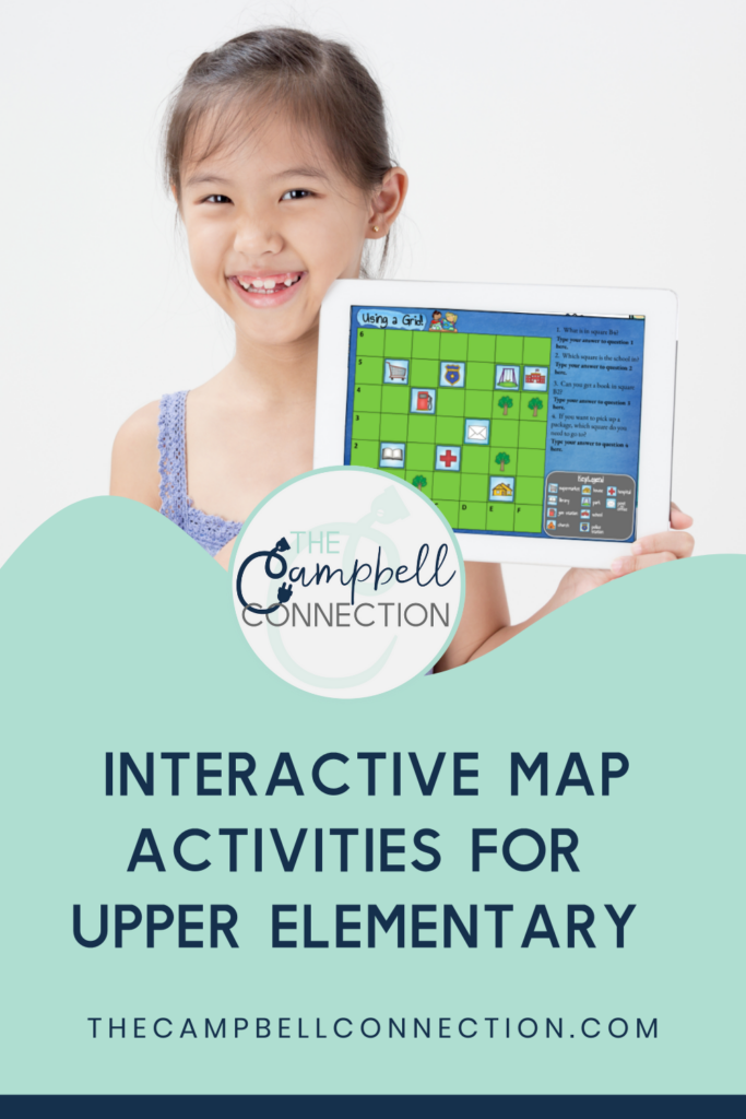
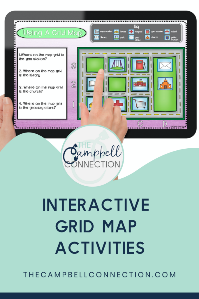
When you teach map grids, students learn about understanding symbols and following directions. Then, they use their cardinal directions and spatial reasoning to understand the maps and take action.
These 6 interactive map grids are excellent practice for students to be engaged virtually or in the classroom.
Longitude and Latitude
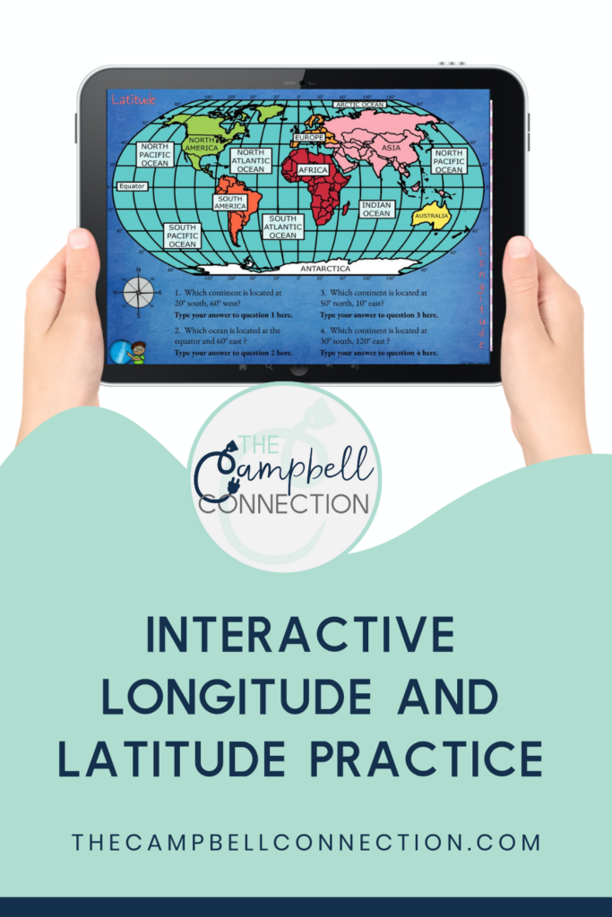
I believe students need practice and repetition to master a skill, and longitude and latitude are no different. However, just because it’s practice doesn’t mean it must be tedious and boring. You can assign these interactive longitude and latitude activities in Google Classroom. Students will clearly understand prime meridian, equator, northern, southern, eastern, and western hemispheres, and longitude and latitude coordinates. It’s great for a morning warm up!
Map Skills Escape Room
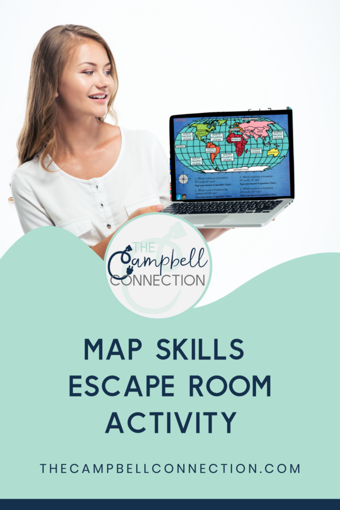
Students love a good mystery, so why not give them one? Map skills escape rooms are perfect for review before a test or group activity. Don’t worry. You don’t have to create one. I did it for you! I’ve done all the prep for you, and all you have to do is assign it in Google Classroom.
Get your Map Skills Escape Room.
Chances are, you will be teaching all these map skills and need resources that keep students’ attention. So, I’ve packaged them up for you in a handy little bundle with a special discount!
Oh, and if you love Google Classroom as much as I do, you’ll love this free 10-minute Digital Lesson Template I designed for you. You also get on my email list to receive monthly Google Slides templates when you download it!

